Transport & Mobility Analysis
Service Overview
Increasing urban congestion and air pollution are growing challenges for modern cities.
The Transport and Mobility Analysis service is proposed as an innovative solution to improve the quality of life in urban areas.
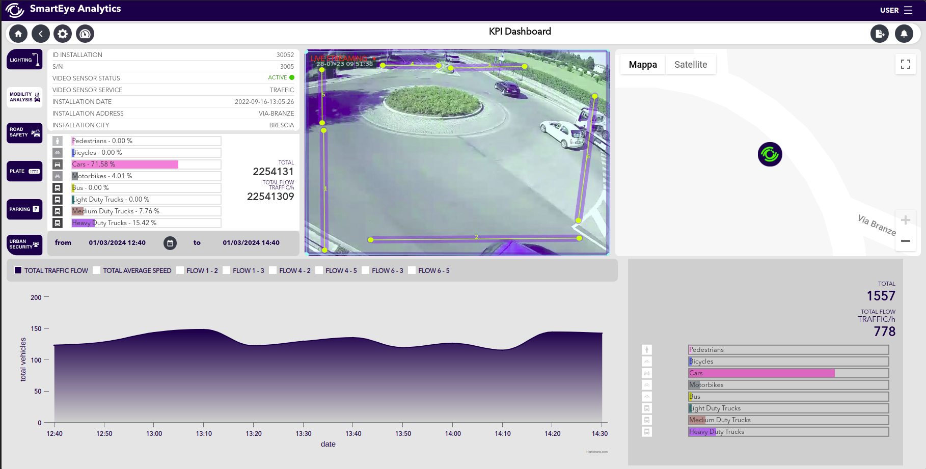
The service is based on smart sensors from the SmartEye family installed at street intersections. These sensors collect real-time data on the number, type and speed of passing vehicles, which can be viewed by the SmartEye Analytics platform.
Analysis of such data makes it possible to predict traffic flow and reduce traffic jams by identifying potential critical points.
The implementation of the Transport and Mobility Analysis service offers Public Administration the opportunity to optimize traffic and travel time management by adopting more sustainable and citizen-friendly urban plans.
Application Areas
Smart Cities |
Video
Specific Service Features
| Vehicles counting and speed estimation | |
| Vehicle Classification (4) | |
| Vehicle Classification (7+1) | |
| Traffic volume prediction | |
| Road section configuration via SmartEye Configurator |
Included in the Service
| Historical data and statistics via SmartEye Analytics | |
| Real time video | |
| Playback video | |
| Archiving and saving video alerts | |
| Exportable data | |
| Open API | |
| Full edge computing |
SmartEye Analytics Software
SmartEye Analytics is the easy-to-use platform for remote scene monitoring, receiving real-time alerts, and managing data collected by SmartEye video sensors. The Client can benefit from all of the following features:
| Multiple users for simultaneous access | |
| Dashboard for different views | |
| Real time video | |
| Playback video | |
| Automatic alerts and reports | |
| Remote management and control of the system | |
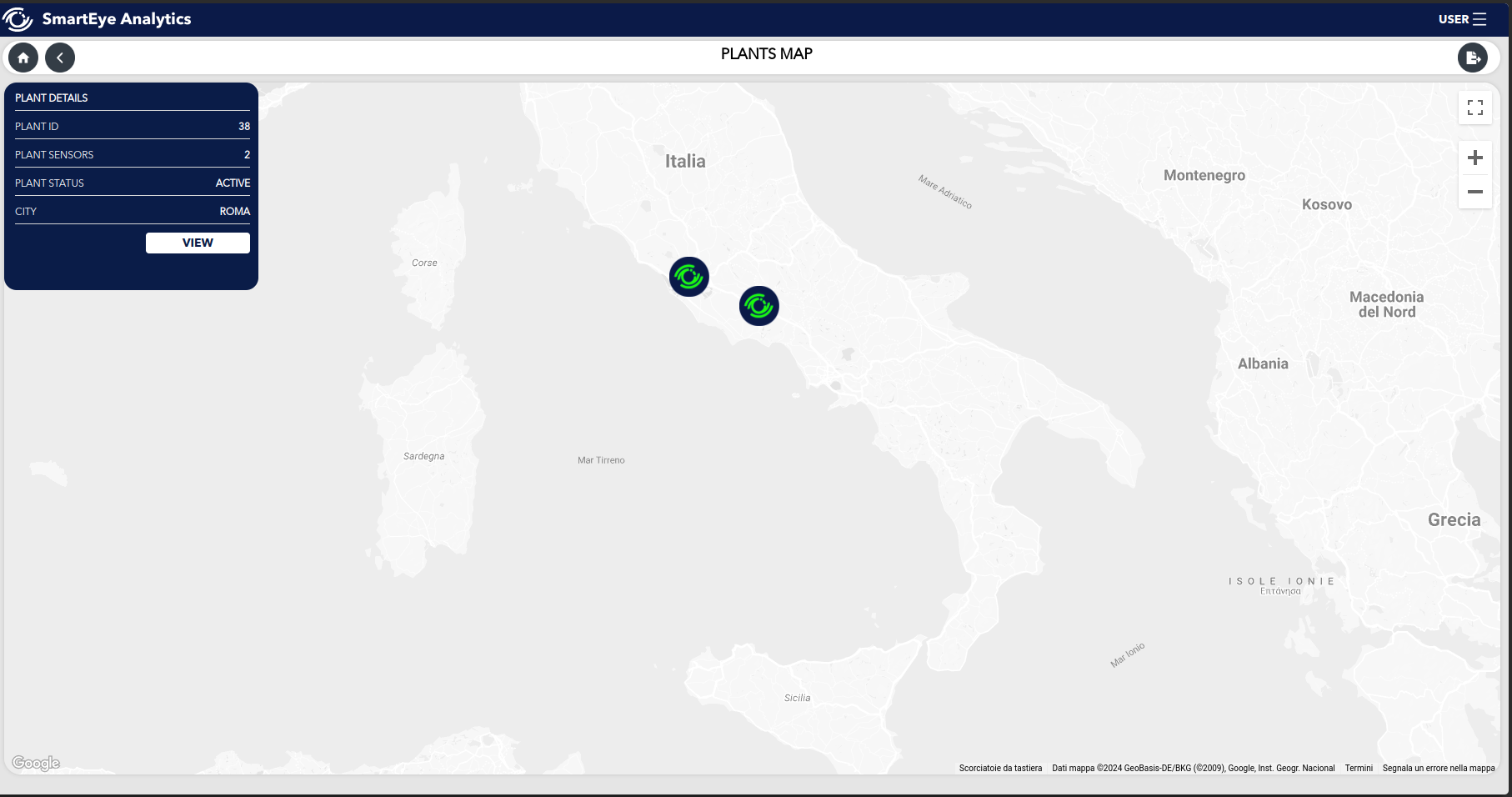
| View of sensor installations on the map | |
| Direct connection to SmartEye Configurator | |
| Open API integration | |
Downloadable Contents
Transport & Mobility Analysis Flyer
Transport & Mobility Analysis
Service Overview
Increasing urban congestion and air pollution are growing challenges for modern cities.
The Transport and Mobility Analysis service is proposed as an innovative solution to improve the quality of life in urban areas.
The service is based on smart sensors from the SmartEye family installed at street intersections. These sensors collect real-time data on the number, type and speed of passing vehicles, which can be viewed by the SmartEye Analytics platform.
Analysis of such data makes it possible to predict traffic flow and reduce traffic jams by identifying potential critical points.
The implementation of the Transport and Mobility Analysis service offers Public Administration the opportunity to optimize traffic and travel time management by adopting more sustainable and citizen-friendly urban plans.
Application Areas
Smart Cities |
Video
Specific Service Features
| Vehicles counting and speed estimation | |
| Vehicle Classification (4) | |
| Vehicle Classification (7+1) | |
| Traffic volume prediction | |
| Road section configuration via SmartEye Configurator |
Included in the Service
| Historical data and statistics via SmartEye Analytics | |
| Real time video | |
| Playback video | |
| Archiving and saving video alerts | |
| Exportable data | |
| Open API | |
| Full edge computing |
SmartEye Analytics Software
SmartEye Analytics is the easy-to-use platform for remote scene monitoring, receiving real-time alerts, and managing data collected by SmartEye video sensors. The Client can benefit from all of the following features:
| Multiple users for simultaneous access | |
| Dashboard for different views | |
| Real time video | |
| Playback video | |
| Automatic alerts and reports | |
| Remote management and control of the system | |
| View of sensor installations on the map | |
| Direct connection to SmartEye Configurator | |
| Open API integration | |


